Innovation & Tech
Halifax Developers Launch Prototype for Coastal Monitoring Drones
A group of Nova Scotia engineers has rolled out a new drone prototype designed to track shoreline erosion and storm surge patterns, offering an early-model solution for improving coastal infrastructure planning and environmental surveillance efforts.
By Emma Caldwell • November 7, 2025
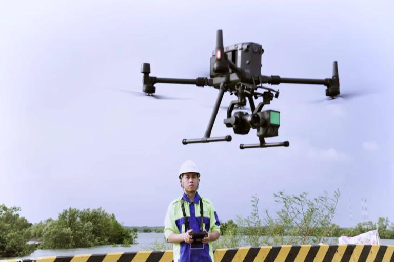
A team of Halifax engineers has unveiled a working prototype of a drone developed specifically to monitor Nova Scotia’s rugged and rapidly changing coastlines. Designed with durability in mind, the device can withstand strong winds and salty air while gathering data during challenging maritime conditions. Early field tests suggest the drone could provide valuable insights into areas most vulnerable to erosion and storm surge.
The project emerged from increasing concern among coastal communities that traditional monitoring methods are no longer sufficient to track shoreline changes. The drone’s onboard instruments include high‑resolution cameras, water‑level gauges, and terrain‑mapping sensors capable of identifying subtle shifts in land structure. Engineers believe this level of precision will allow researchers to detect potential problem areas long before they become hazardous.
One of the drone’s standout features is its ability to autonomously follow predetermined routes along the coast. Once deployed, it can scan wide stretches of shoreline while transmitting live updates to a central command station. This reduces the need for manual surveys, which are often time‑consuming and dependent on weather conditions that can disrupt data collection efforts.
Project coordinators say the drone’s development was partly inspired by conversations with local emergency response teams. After several severe storms in recent years, responders emphasized the need for more accurate, real‑time information about wave impact zones and rapidly shifting coastal terrain. The prototype aims to give teams a clearer picture of developing risks before they escalate into critical situations.
To ensure the device performs reliably, engineers incorporated multiple redundancies into its design. Dual batteries provide extended flight time, while reinforced casing helps protect sensitive sensors from unpredictable debris. If conditions become too dangerous, the drone is programmed to return automatically to its launch point, safeguarding both the equipment and the data it has gathered.
Environmental researchers involved in the project note that coastal erosion in Nova Scotia has accelerated in several regions, making frequent monitoring essential. The drone’s ability to generate detailed topographical models could help create long‑term data records, allowing scientists to track changes over months or even years. This information may ultimately shape future conservation strategies.
The Halifax team also emphasized accessibility as a priority, aiming to create a tool that local municipalities could operate without requiring specialized technical expertise. Simple interface controls and automated data processing make it easier for small communities to adopt the technology, reducing reliance on external agencies for coastal assessments.
In addition to erosion mapping, the drone is designed to monitor tidal flooding and saltwater intrusion—two issues that are becoming increasingly prevalent along Atlantic Canada’s shorelines. By capturing measurements at consistent intervals, it may reveal patterns that human observers could easily miss, particularly during periods of rapid environmental change.
The development team is currently collaborating with oceanographers and climate scientists to refine the drone’s sensor accuracy. These partnerships are expected to improve the precision of water‑level monitoring and enhance the device’s ability to model storm‑driven wave dynamics. Adjustments made during this test phase will help ensure the drone performs effectively under diverse environmental conditions.
Local officials have expressed optimism about the technology’s potential benefits, especially for small towns that lack the resources for continuous monitoring. With rising sea levels posing increasing challenges, tools that offer consistent data collection and predictive modeling could play a crucial role in community planning and infrastructure protection.
Funding for the drone’s continued development has come from a mix of provincial grants and private research investments. Supporters say the prototype represents an important step toward creating a standardized system for coastal monitoring across Atlantic Canada. If successful, the initiative could serve as a model for other regions facing similar environmental pressures.
As the project moves forward, engineers plan to conduct extensive winter testing along particularly vulnerable stretches of coastline. These trials will help determine how the drone performs in cold temperatures, strong winds, and icy conditions. Data collected during this phase will inform final design adjustments before the technology becomes available for broader use.